Find out the best ways to get around (and how to do so safely).
The Mobility Division works every day to fulfill the City’s Vision Zero commitment to eliminate fatalities and serious injuries from our transportation system by making our streets safer and more accessible for people of all ages and abilities. We do this by planning and implementing new safer street designs, identifying priority areas for safety interventions, implementing traffic calming installations, evaluating travel patterns, and building out programs to help make Somerville’s transportation system more safe, equitable, and sustainable.
Mobility’s work is guided by larger City initiatives such as the Bicycle Network Plan, Climate Forward, and SomerVision 2040. The division works closely with other departments, such as IAM: Engineering, the Office of Sustainability and Environment, OSPCD: Public Space and Urban Forestry, OSPCD: Planning, Preservation & Zoning, and the Parking Department.
Monday - Wednesday
8:30 a.m. - 4:30 p.m.
Thursday
8:30 a.m. - 7:30 p.m.
Friday
8:30 a.m. - 12:30 p.m.
TAB (2nd FL, Suites 211 Front Office / 204)
167 Holland Street
Somerville, MA 02144
United States
The Mobility team coordinates with other departments to implement quick-build projects and larger reconstruction projects. All of our projects are focused on improving the safety of vulnerable road users; enhancing the efficiency and safety of transit mobility; and, making our streets safer for everyone traveling on them.
The type of projects we work on and the extent of improvements that are possible through a given project are summarized below:
Quick-build projects
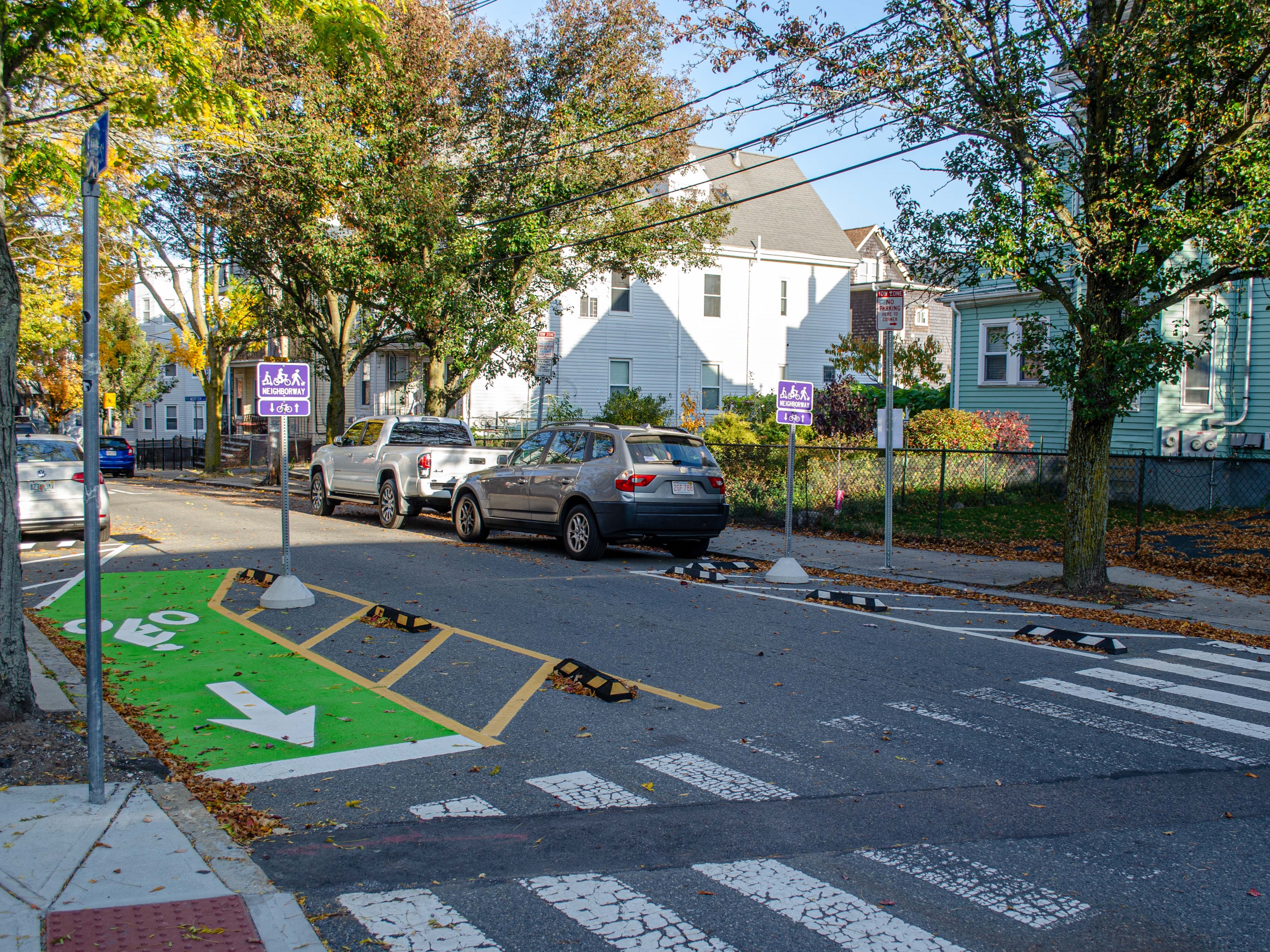
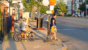
Quick-build projects typically consist of changes to the street that can be made without moving the existing curb. Many times, these projects consist of paint on the street (i.e. pavement markings), signage, and flex posts.
Example: Glen/Otis Neighborways
Annual pavement & sidewalk resurfacing projects
Every year, the Engineering Department uses a data-driven approach to select sidewalks and streets for resurfacing. Mobility works closely with Engineering to plan and incorporate traffic calming, accessibility, and bicycle and pedestrian improvements in these projects. Transportation safety Improvements that are possible through resurfacing projects include things like speed humps, raised crosswalks or intersections, and new or enhanced bike or bus lanes.
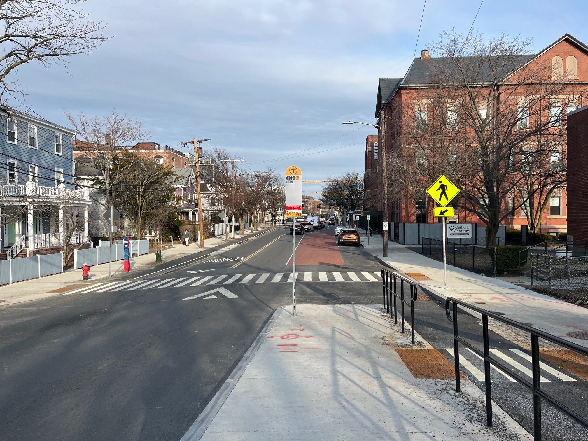
Major full-depth reconstruction projects
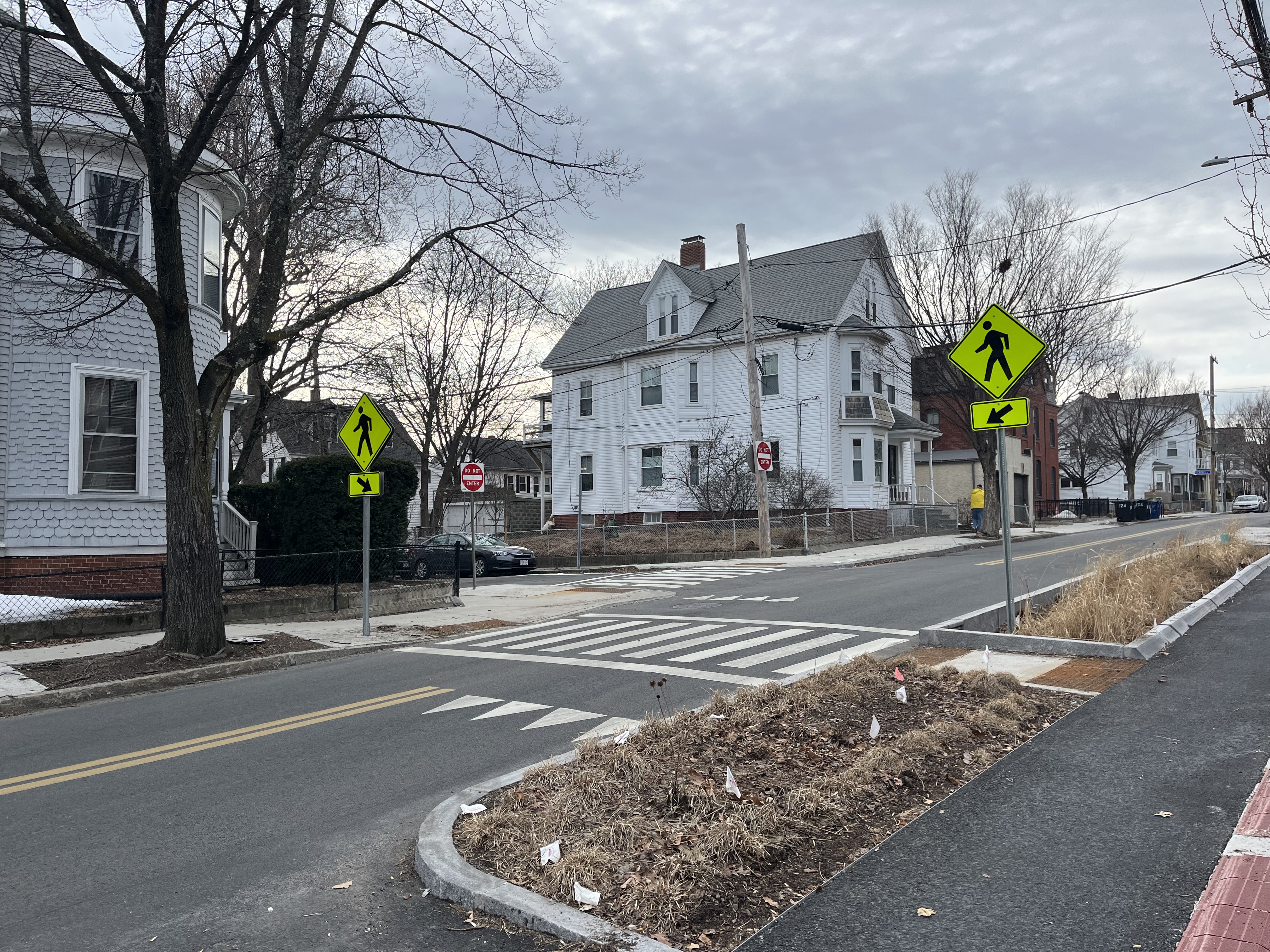
The City undertakes a small number of major, full-depth reconstruction projects. These types of projects often originate from major underground utility reconstruction.
With these types of projects, all improvements are on the table including moving curbline throughout a corridor to widen sidewalks or add sidewalk-level bike lanes.
Example: Spring Hill Sewer Separation Project
In addition to different City departments, the Mobility division works with Somerville community members throughout the design process. The Mobility division has incorporated equitable engagement efforts that include creating opportunities for community members to share their experiences on their streets, providing a place for feedback on designs, incorporating concerns within design iterations, and continued sharing of information. The Mobility division works to engage with all residents of Somerville, prioritizing the vulnerable road users like youth, seniors, immigrant communities, and BIPOC communities. We acknowledge that equitable engagement is an evolving process and are always implementing new learnings and resources with every new project.
To learn more about specific ongoing projects, click the links below to go to the project websites or visit SomerVoice to search for a project.
Quick build
Reconstruction
Quick build
Quick build
Reconstruction
Reconstruction
Reconstruction
Quick-build
The City of Somerville requires certain conditions of all new developments. The Mobility Division reviews all development plans and recommends conditions regarding traffic and parking management in the city. These conditions benefit residents of the City and may require the development to be responsible for improvements such as:
You can learn about Somerville’s development processes and requirements here.
Somerville’s neighborhoods are divided by several state and federal highway facilities, including Interstate 93, State Route 28 (McGrath Highway / Fellsway), State Route 38 (Mystic Avenue), and State Route 16 (Mystic Valley Parkway / Alewife Brook Parkway).
The City of Somerville works collaboratively with state agency partners including the Massachusetts Department of Transportation (MassDOT) and the Massachusetts Department of Conservation & Recreation (DCR) to improve safety and accessibility for all users of these roads, placing special emphasis on planning for people walking, people on bikes, and people riding MBTA buses.
Learn more about the specific state highway projects in Somerville below. We aim to keep this information updated as the projects progress. Some projects are led by the state agencies while other projects are led by the City.
Mystic Ave and Shore Drive Intersection Improvements
To improve safety for people walking, wheeling, and biking at the intersection of Mystic Ave and Shore Drive, the City and MassDOT developed a design for intersection improvements. This project includes a number of traffic safety elements, including: curb extensions to provide more space for people walking and improve visibility at the crosswalks, signal and crosswalk enhancements, and protected bike lanes on either side of Shore Drive. As of January 2025, the project is substantially complete and the contractor is working on final punch list work items
Mystic Ave and Middlesex Ave Intersection Improvements
Informed by the recently updated Assembly Square Neighborhood Plan, the City is designing an improved intersection at Mystic Ave and Middlesex Ave with sidewalk level bike lanes, a new design for Middlesex Ave with one travel lane in each direction, improved pedestrian infrastructure included a raised intersection, and a ‘T” intersection geometry that reclaims excess roadway space for pedestrian, bicycle, and landscape uses and reduces the speed at which vehicular traffic can enter and exit Middlesex Ave.
Mass transit is central to life in Somerville. Our residents, workers and visitors depend on safe, reliable, affordable public transit. Somerville’s economic, equity and climate commitments cannot be achieved without a strong and resilient mass transit system in greater Boston.
Today, the MBTA bus system includes 14 bus routes in Somerville, and pre-pandemic weekday ridership averaged 16,000 boardings in Somerville. MBTA heavy rail service in Somerville includes Red Line, Orange Line, and Green Line subways. The Davis Square Red Line station handled roughly 12,000 daily weekday passenger boardings (pre-pandemic) while the Assembly Square Orange Line station handled roughly 4,000 daily weekday boardings. Two subway stations just outside of Somerville’s boundaries offer additional access for Somerville residents, workers and visitors: Porter Square’s Red Line station and Sullivan Square’s Orange Line station.
Mobility Resources
Safe Streets Ordinance Annual Reports
Key Performance Indicators
Transit Resources
Committees


Monday - Wednesday
8:30 a.m. - 4:30 p.m.
Thursday
8:30 a.m. - 7:30 p.m.
Friday
8:30 a.m. - 12:30 p.m.
TAB (2nd FL, Suites 211 Front Office / 204)
167 Holland Street
Somerville, MA 02144
United States
Find out the best ways to get around (and how to do so safely).
Please submit website feedback using this form. Be sure to include:
Thank you for your feedback!